12.2.2024
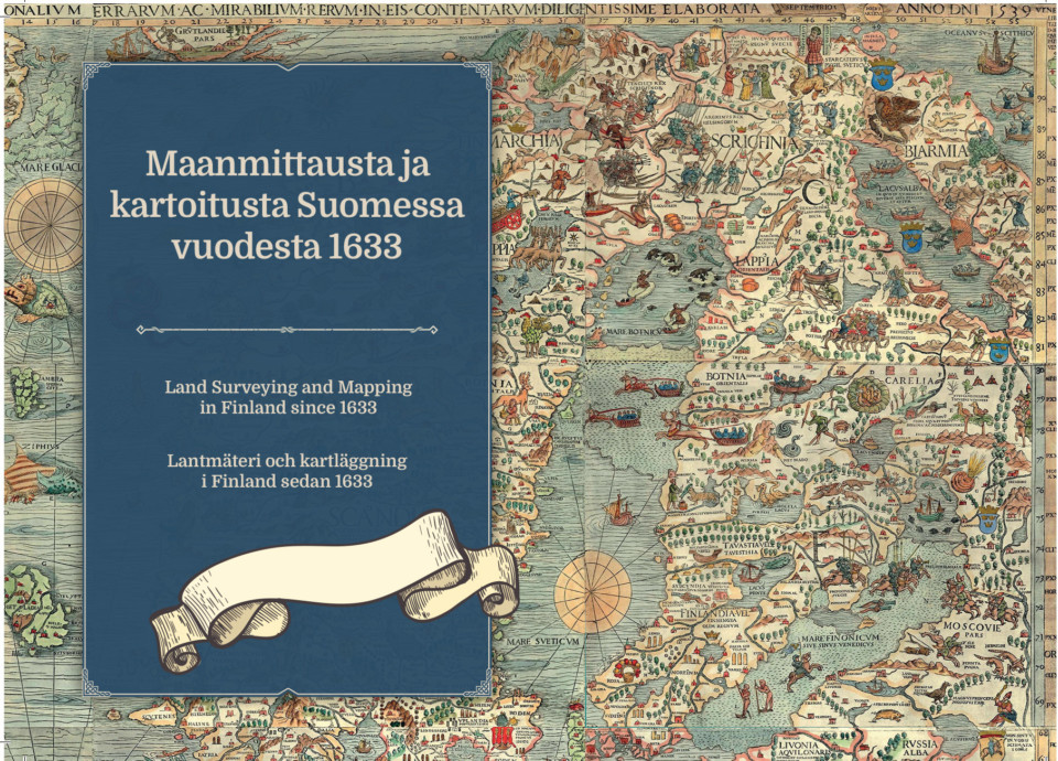
Exhibiton: Land Surveying and Mapping in Finland since 1633
The exhibition explores the tradition and development of land surveying and mapping in Finland through military mapping projects and secret maps towards modern times. Additionally, the exhibition showcases Suomenlinna and the Struve Geodetic Arc, two of Finland’s seven UNESCO World Heritage Sites. In addition to maps, the exhibition provides information on how Finland was mapped and how much work and time it required.
The exhibition is on display at the Suomenlinna Museum from February 19, 2024, to February 2nd, 2025.